Advanced Navigation Device / Instrument
Certus
Dual antenna MEMS GNSS/INS with 0.1 deg heading and 1 cm RTK position accuracy.
Description
Certus is a dual antenna MEMS GNSS-aided inertial navigation system. It combines temperature-calibrated MEMS sensors and a pressure sensor with a dual antenna RTK GNSS receiver in an AI-based fusion algorithm.
Key features
- 0.1 deg roll, pitch and GNSS heading
- 10 mm position accuracy and 3 deg/hr bias instability
- Internal data logging (256GB) and time synchronization
- Supports NMEA 0183, TSS, PASHR and Simrad protocols
- OEM and rugged packages
- Compatible with Kinematica PPK software
Applications
Marine surveying, land surveying, UGVs and helicopters.
Specifications
| Roll & Pitch | 0.1 ° |
|---|---|
| Heading (GNSS) | 0.1 ° |
| Bias Instability | 3 °/hr |
| Position Accuracy | 10 mm |
More from Advanced Navigation
Featured products
All products →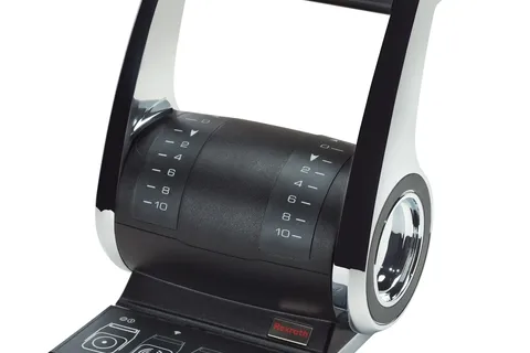
Equipment
VETUS Electronic Remote Controls ECS
Rexroth-developed ECS electronic engine controls for single or twin engines from up to four stations, with optional trolling control, CAN-bus communication and auto-diagnostics; for leisure craft and small workboats.
Equipment
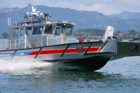
Munson 48′ Series
48 ft welded aluminum landing craft for heavy cargo in rough conditions, used for oil spill response and firefighting.
Component
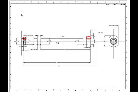
Bolts, Nuts and Studs Made to Order
Special bolts, nuts and studs made to order in any metal, alloy and class, including turbine bolts and Duplex / Super Duplex stud bolts.