PRIMAR Remote / Digital Service
S-100 Products and Services
Validation and distribution of IHO S-100 datasets: S-101 ENC, S-102 bathymetry, S-104 water levels, S-111 surface currents, S-122, S-123, S-124, S-128 and S-129.
Description
S-100 is the International Hydrographic Organization's framework for the next generation of digital hydrographic data, built on a shared data model so that different maritime datasets can work together in modern navigation systems. PRIMAR provides the infrastructure, tools and operational services to manage, validate and distribute S-100 datasets as Hydrographic Offices release them.
Key features
- S-101 Electronic Navigational Chart, expected to become the base chart layer of S-100 based ECDIS
- S-102 Bathymetric Surface: high-resolution gridded bathymetry for 3D sea floor visualisation
- S-104 Water Level Information and S-111 Surface Currents forecasts
- S-122 Marine Protected Areas; S-123 Marine Radio Services (VHF, HF, DSC, AIS, NAVTEX)
- S-124 Navigational Warnings; S-128 Catalogue of Nautical Products; S-129 Under Keel Clearance Management
- Rapid dissemination with quality control, so pilots and other users can receive updates within hours rather than days or weeks
- South Korea has released its entire S-101 ENC portfolio within the PRIMAR service
Applications
S-100 capable ECDIS, pilotage and port approach planning, under keel clearance management and shore-based services.
Specifications
| Product specifications | S-101, S-102, S-104, S-111, S-122, S-123, S-124, S-128, S-129 |
|---|
More from PRIMAR
Featured services
All services →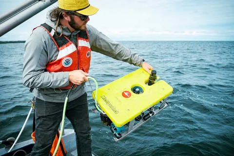
Inspection, Survey & Testing
Benthic Habitat and Seafloor Mapping (Great Lakes Lakebed 2030)
Multi-office NOAA project collecting airborne lidar and multibeam sonar data to map Great Lakes nearshore benthic habitat (0-80 m) in support of Lakebed 2030.
Other service
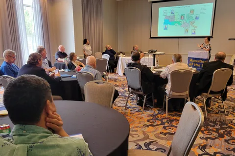
Annual Conference
Annual conference providing education, networking and formation for Catholic maritime ministers and mariners.
Other service
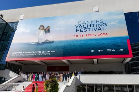
Cannes Yachting Festival
Six-day in-water boat show each September in the Vieux Port and Port Canto, Cannes; the 2024 edition showed more than 700 boats of 5 to 45 metres.