OceanGrafix Other product
Hurricane Tracking Charts
Charts for tracking and recording storm progress through the hurricane season, for the Eastern Pacific, Full Atlantic and Western Atlantic.
Description
Hurricane tracking charts let storm watchers and nautical enthusiasts track and record the progress of storms throughout the hurricane season. OceanGrafix notes that Hurricane Katrina alone accounted for as many as 300 obstructions to navigation as charted by NOAA.
Key features
- Three regions: Eastern Pacific, Full Atlantic and Western Atlantic
- Designed for plotting storm tracks by hand
- Printed on demand
Applications
Storm monitoring by boaters, marinas, port operators and weather enthusiasts during the hurricane season.
More from OceanGrafix
Featured products
All products →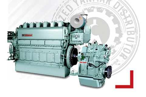
Equipment
YANMAR Main Engine (Medium Speed)
YANMAR medium-speed diesel propulsion engines for commercial ships, workboats and large fishing vessels, supplied and serviced in Turkey by Sakura Marine.
Spare Part
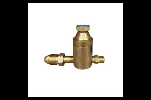
Shrinkfast Parts
Spare parts for Shrinkfast 200 (998) and 975 heat tools, including spark plugs, O-rings, filters, orifices, ignitor assemblies, fuel lines, regulators and a 975 rebuild kit.
Equipment
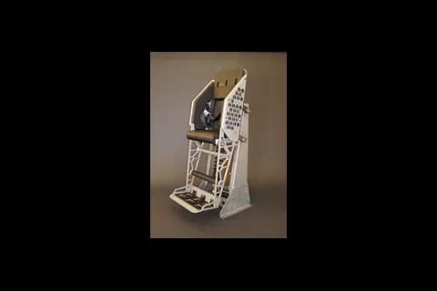
870V53 Advanced Shock-Mitigating Bolster
Stand-up shock-mitigating bolster with a suspension proven in Sea State 4 at 50+ knots aboard the MKV Special Operations Craft.