CEACT Information Systems Other product
Inland Electronic Navigational Charts (directENC)
USACE and NOAA S-57 / IENC 2.1 inland ENCs converted by ChartWorld to SevenCs directENC format for use in CEACT.
Description
CEACT Classic and CEACT Light use USACE and NOAA electronic navigational charts to the S-57 and IENC 2.1 standards, optimized by ChartWorld into SevenCs system ENC (SENC) format, directENC.
Key features
- Simplified chart management and faster data loading
- Embedded functions supporting Channel Closest Point of Approach
- Natural route planning and ETA
- Mile/kilometer marker display and go to river mile position
- ChartWorld US inland ENCs available individually or in folios, and in S-63 format for other ECS
Applications
- Inland waterway navigation with CEACT and other electronic chart systems
Specifications
| Chart standards | S-57, IENC 2.1 |
|---|---|
| Format | SevenCs directENC (SENC); S-63 available |
More from CEACT Information Systems
Featured products
All products →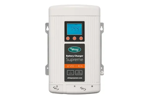
System / Package
Supreme 12 VDC - 40 A
Automatic 12 V, 40 A battery charger with three independent outputs, programmable for AGM, GEL, wet and lithium, universal 90–265 VAC input; CE and ABYC compliant.

Device / Instrument
Tank Gauging & Level Monitoring Systems Services
Onboard calibration, testing and commissioning of ullage, temperature and interface gauging, water ingress detection and integrated cargo monitoring systems (ICMS), to class, IMO and terminal vetting standards.
Equipment
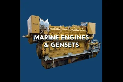
Marine Engines & Gensets
New, used and zero-hour rebuilt marine propulsion engines and marine generator sets from makes including Caterpillar, Cummins, Detroit Diesel, MTU and John Deere.