Sea Engineering Inspection, Survey & Testing
Hydrographic and Geophysical Surveys
Multibeam and single beam bathymetry, side scan sonar, sub-bottom profiling and magnetometer surveys for harbors, cable routes and site assessments.
Description
Sea Engineering offers a full range of hydrographic and geophysical surveys, including multibeam and single beam bathymetry, side scan sonar, subbottom profiling and magnetometer surveys. Surveys have been completed in Madagascar, Martinique, Fiji, Barbados, Kiritimati, Midway Atoll, Palau, Samoa, the Hawaiian Islands and the continental U.S.
Key features
- Multibeam and single beam bathymetry
- Side scan sonar and seafloor imaging
- Subbottom profiling and sand deposit investigations
- Magnetometer surveys and magnetic anomaly detection
- Equipment: Trimble DGPS, Leica RTK, R2Sonics 2020 multibeam, SBG Ekinox MRU/INS, CMAX CM2 side scan (300/700 kHz), EdgeTech 216 subbottom profiler, Teledyne Odom E20 single beam
Applications
- Harbor dredging surveys
- Seafloor benthic mapping
- Fiber optic cable, pipeline and outfall route surveys
- Downed aircraft and lost anchor recovery
Specifications
| Multibeam | R2Sonics 2020 |
|---|---|
| Side scan sonar | CMAX CM2 – 300/700 kHz |
| Subbottom profiler | EdgeTech 216 |
| Single beam | Teledyne Odom E20 |
More from Sea Engineering
- Vessel Services
- Remote Operated Vehicles and Unmanned Aerial Systems
- Coastal Engineering
- Oceanographic and Marine Environmental Services
- Underwater Inspection
- Commercial Diving & Underwater Construction
- Waterfront Construction
- Emergency Response and Salvage
- Offshore Renewable Energy
- Coastal Permitting and Planning
Featured services
All services →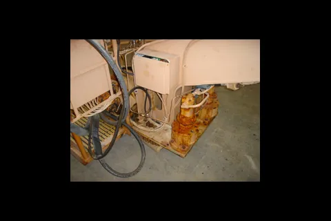
Repair & Overhaul
Field Service, Spare Parts and Refurbishment
Worldwide repair, maintenance, inspection, certification, training, spare parts and complete refurbishment of Appleton Marine cranes and winches.
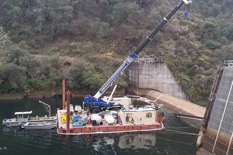
Engineering & Design
Engineering & Constructability Support
Underwater and marine engineering support with an Early Contractor Involvement approach to integrate construction means, methods and schedule into project design.
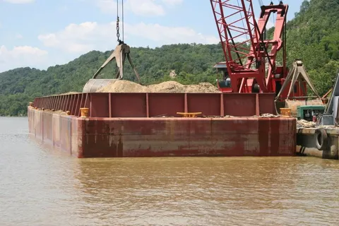
Rental / Leasing
Barge & Equipment Chartering
Contract chartering of barges and construction equipment for customer projects.