OceanGrafix Other product
NOAA Bathymetric Charts
NOAA bathymetric charts presenting an accurate, measurable description of submerged terrain.
Description
Bathymetric charts from OceanGrafix are the submerged equivalent of above-water topographic maps. They are designed to present an accurate, measurable description and visual presentation of the submerged terrain. The charts are part of OceanGrafix's specialty range alongside hurricane tracking, canoe, satellite and historical charts.
Key features
- Accurate depiction of seabed and lakebed terrain
- Browse or search by chart number
- Printed on demand
- Available online through OceanGrafix's trusted retailers or from its network of chart retailers
Applications
Fishing, diving, marine research and planning of underwater work where seabed shape matters.
More from OceanGrafix
Featured products
All products →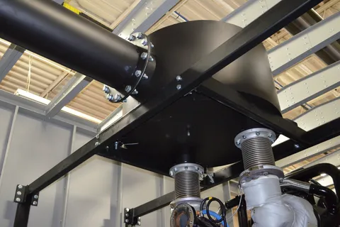
Component
Custom Generator Silencers
Custom-engineered and modified exhaust silencers for generator engines, optimised for backpressure limits and noise spectrum, with options for dimensions, connections, materials and insulation.
Equipment
Maxi Marine – MM
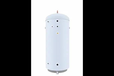
Stainless steel hot water accumulator for marine installations, used alone with an external energy source or combined with other Maxi Marine heaters; 120–15 000 L.
Equipment
Windshield Boats
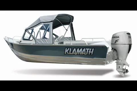
Welded aluminum windshield boats (16 EXW, 18 OPW, 19 GTX) on Klamath's open-boat hulls, with all-welded windshields, grab rails and an optional full canvas top.