NOAA Other service Enhanced
Fisheries Science and Management (NOAA Fisheries)
NOAA's National Marine Fisheries Service conducts fisheries and coastal ecosystem research and sets management measures such as catch and allocation limits.
Description
The National Marine Fisheries Service (NMFS, NOAA Fisheries) is the successor to the U.S. Commission of Fish and Fisheries, which created biological laboratories at Woods Hole, Massachusetts (1885) and Beaufort, North Carolina (1890) to support commercial fishing management and study commercial fish and shellfish.
Key features
- Fisheries science laboratories, including the Charleston, South Carolina laboratory of the Southeast Fisheries Science Center (chemical contaminant studies, detection of human pathogens in shellfish and marine biotoxin research)
- NOAA ships collect the data needed to manage U.S. fisheries
- Fisheries specifications such as U.S. territorial bigeye tuna longline catch and allocation limits
- Cooperative Shark Tagging Program engaging recreational anglers and commercial fishers
Applications
- Commercial and recreational fisheries management
- Seafood safety and coastal ecosystem research
More from NOAA
Other service
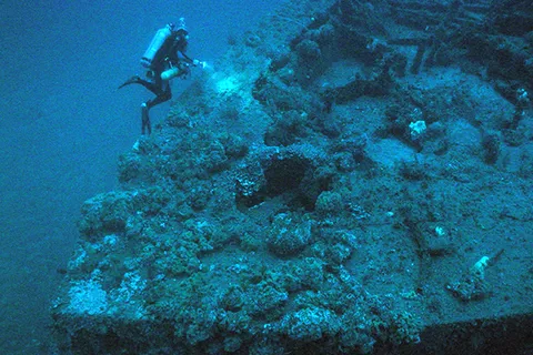
National Marine Sanctuaries and Maritime Heritage
NOAA's Office of National Marine Sanctuaries manages 13 sanctuaries and two marine national monuments and locates, protects and interprets shipwrecks and maritime heritage.
Inspection, Survey & Testing
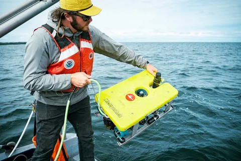
Benthic Habitat and Seafloor Mapping (Great Lakes Lakebed 2030)
Multi-office NOAA project collecting airborne lidar and multibeam sonar data to map Great Lakes nearshore benthic habitat (0-80 m) in support of Lakebed 2030.
Other service
NOAA Ship Fleet (Marine Operations Center)
Fleet of NOAA research and survey ships managed by the Marine Operations Center for charting, fisheries and oceanographic and atmospheric data collection.
Inspection, Survey & Testing
Nautical Charting and Hydrographic Survey (Office of Coast Survey)
NOAA's Office of Coast Survey, established in 1807, charts U.S. coastal waters, surveys the seafloor and locates navigation hazards with ships, sonar and response teams.
Remote / Digital Service
Weather and Tropical Storm Forecasting (National Weather Service)
NOAA's National Weather Service provides forecasting and weather warning services, including tropical storm forecasts from the National Hurricane Center.
Remote / Digital Service
Environmental Satellite Systems (NESDIS, GOES and POES)
NOAA's NESDIS operates polar-orbiting (POES) and geostationary (GOES) environmental satellites and processes, distributes and archives their data.
Other service
Spill Response and Restoration (Office of Response and Restoration)
NOAA's Office of Response and Restoration responds to oil and hazardous material spills and, through the RULET project, assesses sunken wrecks that may leak oil.
Inspection, Survey & Testing
National Geodetic Survey
NOAA's National Geodetic Survey maintains the national elevation reference system and publishes post-storm aerial imagery of coastal damage.
Other service
Ocean Exploration (Office of Ocean Exploration and Research)
NOAA's Office of Ocean Exploration and Research conducts deep-water expeditions with submersibles and ROVs, including two field expeditions to the Titanic wreck site.
Other service
Citizen Science Programs (Whale Alert, Phytoplankton Monitoring Network, Old Weather)
Catalog of 32 NOAA citizen science projects, including the Whale Alert app for mariners, the Phytoplankton Monitoring Network and Old Weather ship log transcription.